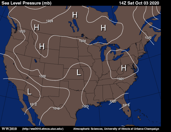
The
Sun - Driver of the
Weather

The Sun - extreme UV - 195 angstrom - 1,500,000 K
Click
on the image for the sun in different frequencies!
|

The Sun - Continuum - about what it would look like if you looked at it
direct
(please ONLY look at the sun with proper filters!)
Sunspots near the equator are Cycle 23
spots farther
North or South are new Cycle 24 spots
What
does a Spotted Sun Look Like
(from 2001 - the last peak)
|
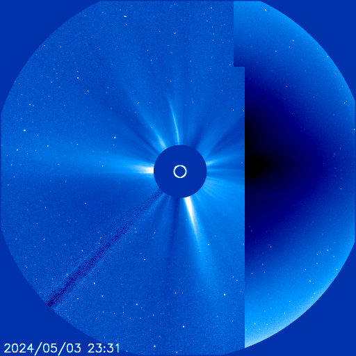
The Area around the sun - Watch for CME and Comets!
Occasionally, Planets can be seen. The random streaks are Cosmic Ray
Strikes
Solar Flux -a measure of the energy coming to us from the sun,shows
how active the sun is
A is a moving average of the K,
K
is a measure of the Geomagnetic activity (a good aurora
predictor!)
Solar
Activity Glossary
|
NOAA Northern
Hemisphere Aurora Map
The Red Arrow points to the Sun ("noon")
|
NOAA Southern
Hemisphere Aurora Map
The Red Arrow points to the Sun ("noon")
|
Hawaii Island (the
Big
Island) Mountain Webcams
If the moon is up, sometimes you can see the domes. Occasionally a
laser "guide star" can be seen!
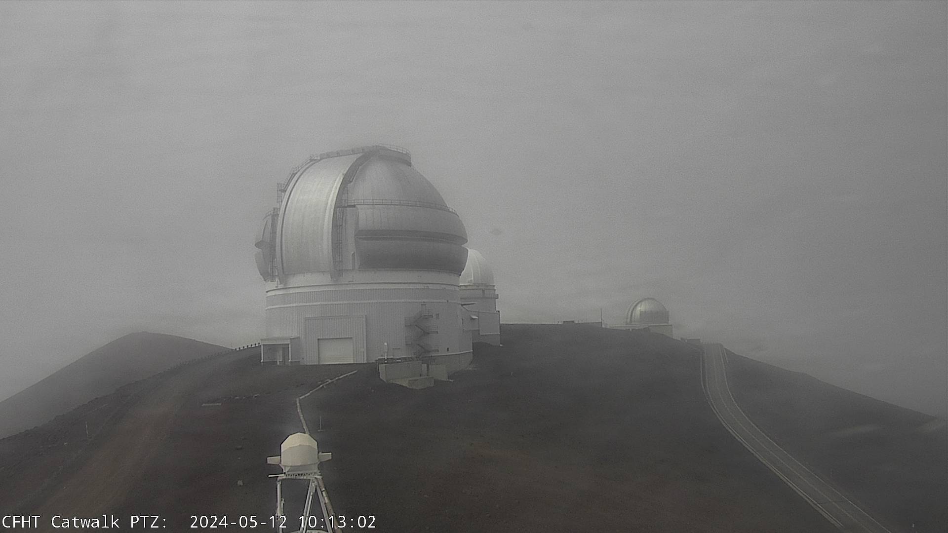
Gemini
Dome - Mauna Kea - from CFHT
|
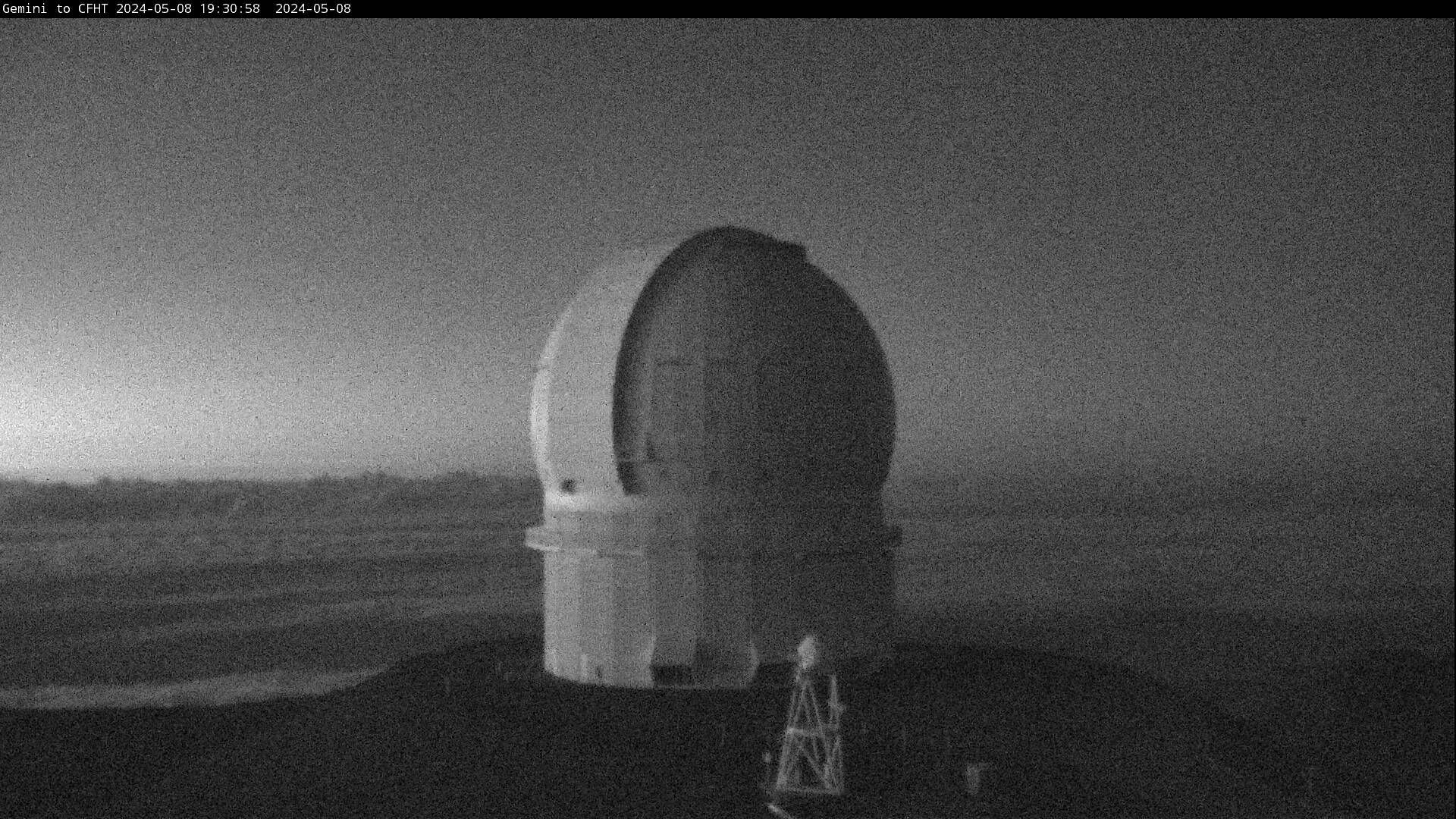
CFHT
Dome - Mauna Kea - from Gemini
|
"Gemini" is the Gemini North Telescope - they
have
a twin in Chile
"stars" seen at night are "bad pixels" in the camera
|
CHFT is the "Canada-France-Hawaii Telescope"
"stars" seen at night are "bad pixels" in the camera
|

View from Mauna Kea - from UKIRT
|

Mauna Kea from NOAA Clean Air Station - Mauna Loa
|
|
UKIRT is the "United Kingdom InfraRed
Telescope"
|
This is place where the Keeling Curve comes from!
|
Other Earth / Space Science
Webcams
(changes occasionally with the season and topics)
Antarctic
Mania
Bernardo O'Higgins Penguins
Moulting / and
some youngsters waiting to go

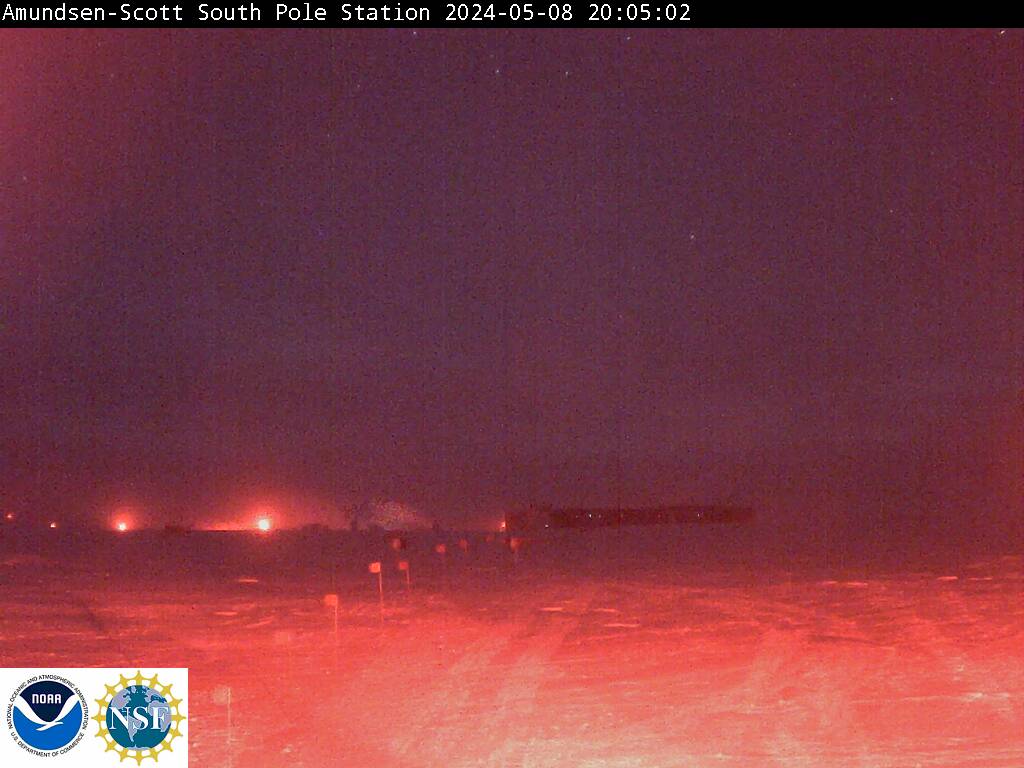
The view from South Pole (NOAA)
Camera turned OFF April 19, 2010
Sunset Mar 24, 2010 or so... Getting colder and darker!
|


The View from Scott Base - McMurdo Sound (New Zealand Antarctic)
Around the corner from McMurdo
It's near the solstice, and Scott Base is in its "days of night"
|

Zoom In | Normal
| Zoom Out
ZOOMable PenguinCam at Bernardo O'Higgins
Penguins!!!
When will the last penguin be seen this season???
Sometime between April 16 and 27... did you see it??? let me know!!!
A
snowy sheathbill occasionally perches on the stone monument...
|


Bernardo O'Higgins view
Penguins
are at sea for the winter!
What the
Penguin Cam looks like
|
Bernardo O'Higgins Penguins
Penguins
and Radio Astronomy
|
Bernardo
O'Higgins
Penguins
Penguins
and Radio Astronomy
|
Bernardo O'Higgins
Penguins
|
Bernardo O'Higgins
Penguins
Zoom
of the one to the left
|

Rothera - Antarctic Peninsula
They've changed the naming of the file, so this isn't changing.... drat!
|


South Georgia
Larsen House, King Edward Point
Occasional King Penguins, Fur Seals, Sea Lions, Elephant Seals, Skuas,
Gulls!
Click
on the image for a second webcam view.
|
Rothera and South Georgia bases are operated by the BAS
-
British
Antarctic Survey
The
World is
Round!!!
This section will
slowly
add more webcams to
help with the understanding that the world is round, as well as
"tilted"
"Night" depends on where you are! North - South - East - West!
Compare the Barrow
(Farthest North Alaska) with the Antarctic Cams - and the Map of the
World with the Day/Night section
The Earth is tilted
 |
 |
|
|
|
| Barrow,
Alaska - The world is round!!! |
The Pyramids - The world is round!!! |

The 2010 installation is
here!!!!
On the ice - on the Arctic Ocean
Aloha
- I made the first version of this for my classes,
so a lot of the
links
are for Hawaii.
Know of any good (educational/weather) Links I should Add???
What
would you like to see on this?
Let
me know via the e-mail below!
|
Website
recommendations
|
Software
Recommendations
|
Disclaimers
and all that
|
|
Pu'u O'o Live
--
Halema'uma'u --
Mauna
Loa Summit
|
Claris
Home Page (Win - Mac (10.2 and before)) |
|
|
Hawaii
Earthquakes -- East Hawaii
Earthquakes
|
WxtoImg - NOAA /
Weather
satellite image capture
(Win - Mac - Lin)
|
Most of the images
are from
external websites - USGS, NOAA,
|
|
Mauna Kea
Webcams UKIRT-JCMT - MKO at night
|
WXtrack
- Satellite
tracking (Win)
|
Hawaii Volcano
Observatory,
Weather Underground,
|
|
Mauna Loa
Webcams
|
Graphic
Converter (Mac)
|
Australian Antarctic
Division, New Zealand Antarctic, US NPS, various Mauna Kea
|
Antarctic Webcams
Pole - Davis -
Casey -
Mawson -
Macquarie
- Scott
|
Firefox
(Win - Mac - Lin)
|
observatories. The
URLs
from them can tell you where I got them.
|
|
Arctic Webcams
|
OrbiTrack
2.1.5 - Satellite
tracking (Mac (Sys 7,8,9))
|
- if they are yours
and you
object to the way I'm using them for my
|
Mt St Helens
Webcam
Old Failthful -
Geyser - Yellowstone webcam
|
Google
Earth - Now with Mars and Sky
(and a flight simulator) |
- classes - drop a
line and
I'll remove then, add or change the acknowledgements.
|
|
Weather Underground
|
 |
Thank you in advance
|
|
Celestrak -
Keplerian Elements to
track Satellites
|
|
|
Updated 19 Mar 2010 ---
Page
by
ted
Brattstrom -
2007-2008-2009-2010
