MrB's Hobart, Tasmania Weather Page Hobart, TAS Cool Science |
|
 |
||
|
|
||||
|
|
|
SMART Center - West Virginia Weather |
||
|
|
|
|||
|
Weather Pole to Pole |
Tasmania Fire Map!!! |
Hawai'i Eruption
Images |
|
MrB's Hobart, Tasmania Weather Page Hobart, TAS Cool Science |
|
|
||
|
|
||||
|
|
|
SMART Center - West Virginia Weather |
||
|
|
|
|||
|
Weather Pole to Pole |
Tasmania Fire Map!!! |
Hawai'i Eruption
Images |
| Tasmania Time |
UTC Time |
Hobart Area Radar and Satellite Weather

Hobart area Radara |

IR and Visble mixed |

Visible |
 IR |

Surface Air Pressure - Isobars Thanks Weatherzone!! Tasmania
Weather from WeatherZone |
|
|
 Mean Minimum
Temperature
|
Click the Triangle in the Circle Icon to get the Big data out of the way
With this, you might predixt where cyclonic action would start as well as track cyclone/typhoon/hurricane progress |
 Downtown Hobart, Mt Wellington, The Queen's Domain From Rose Bay High School |
 Hobart - By the Museum |
Click on the World Sunlight Map link below to See Larger Versions and choose Different Map Projections
Watch for the Equinox (~Mar/Sept 21) and Solstice (~June/Dec 21)
|
|


Australia / Australasian Earthquakes

Last 8 to 30 days - size relates to magnitude, color relates to depth

World Earthquakes
This is where the International Space Station is Currently
dotted line means it is in shadow, continuous line means its in sunlight
thanks www.heavens-above.com
 The Sun - extreme UV - 171 Ångström - 1,000,000 K Click on the image for the sun in different frequencies! |
 The Sun - Continuum - about what it would look like if you looked at it direct (please ONLY look at the sun with proper filters!) What does a Spotted Sun Look Like (from 2001 - the last peak) |

The sun according to STEREO - a pair of spacecraft "ahead" and
"behind" the Earth's orbit,
to allow more of the sun to be seen. In the EUV at
195 Ångström
(similar to the SOHO image)
The Area around the sun - Watch for CME and Comets!
Occasionally, Planets can be seen. The random streaks are Cosmic Ray
Strikes
|
|
 NOAA Northern
Hemisphere Aurora Map |
 NOAA Southern
Hemisphere Aurora Map |
|
|
Hawaii
Island (the
Big
Island)
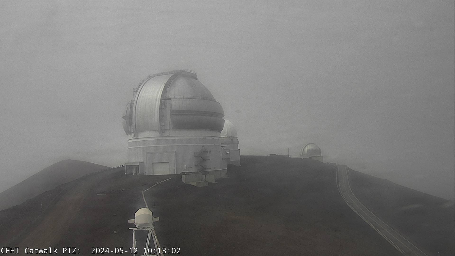
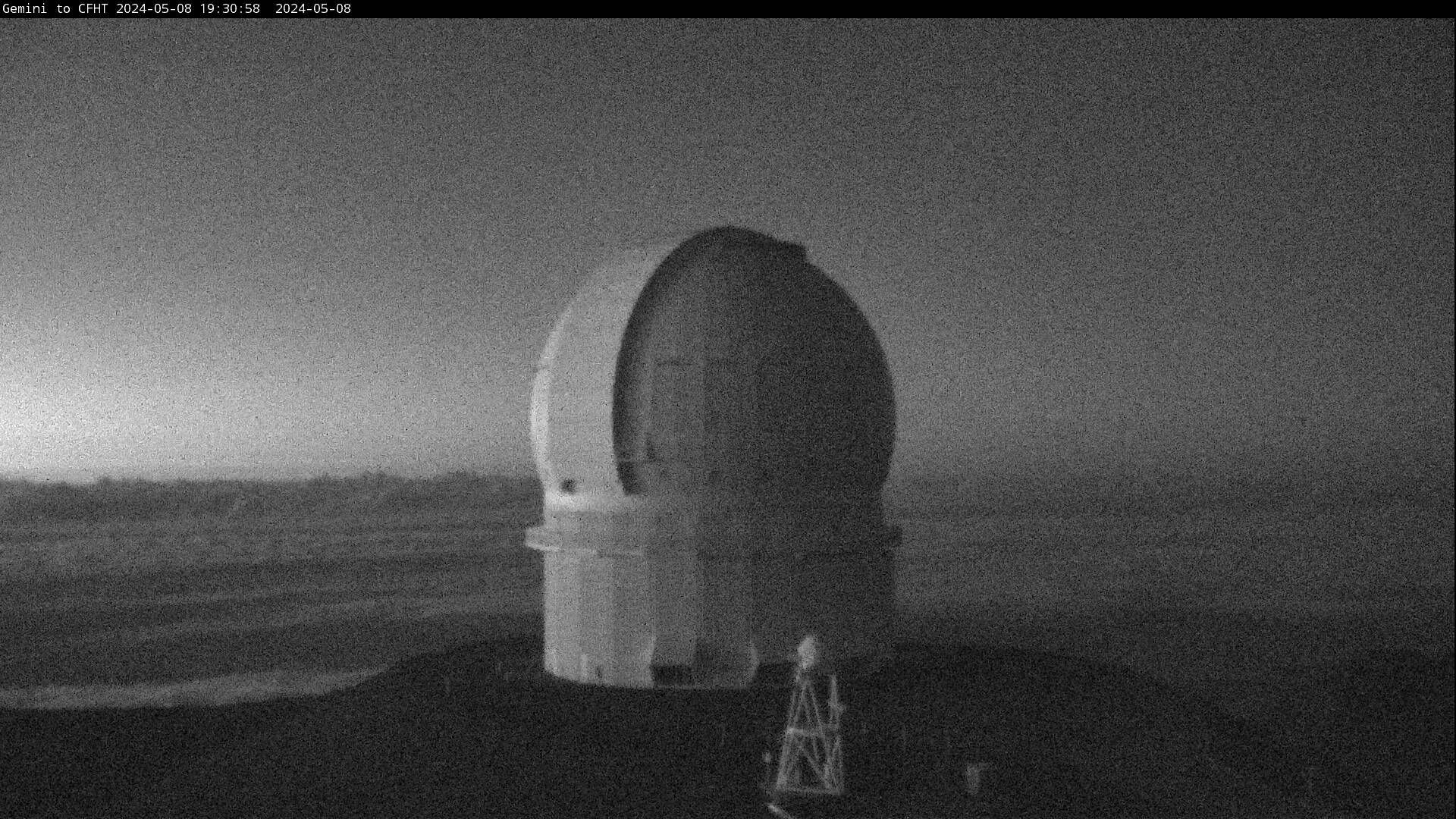
Mountain and Astronomy Webcams
If the moon is up, sometimes you can see the domes. Occasionally a
laser "guide star" can be seen!
 Gemini Dome - Mauna Kea - from CFHT |
 CFHT Dome - Mauna Kea - from Gemini |
|
"stars" seen at night are "bad pixels" in the camera |
"stars" seen at night are "bad pixels" in the camera |
 View from Mauna Kea - from UKIRT |
 Mauna Kea from NOAA Clean Air Station - Mauna Loa |
|
|
|
|
|
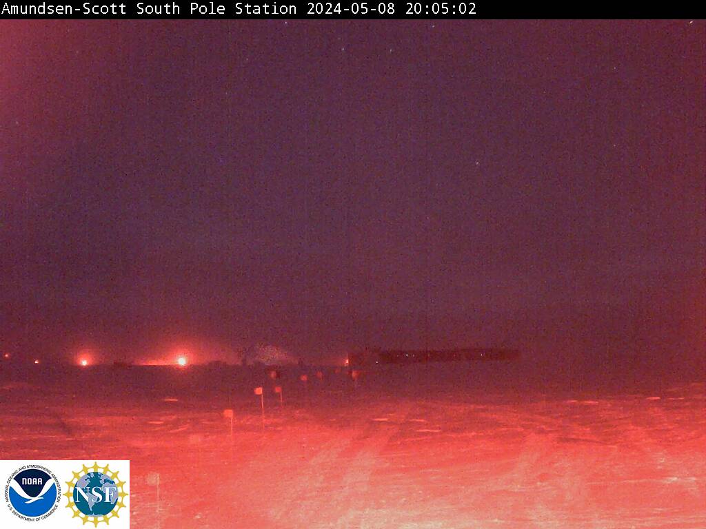
Other Earth / Space Science Webcams (changes occasionally with the season, topics, and suggestions!)
Antarctic Mania

Camera is on for the Summer! |

|
||||||

|

Penguins are Back! |
||||||
Penguins and Radio Astronomy |
Bernardo
O'Higgins
Penguins
Penguins and Radio Astronomy |
||||||
Bernardo O'Higgins
Penguins
|
Bernardo O'Higgins
Penguins
Zoom of the one to the left |
||||||

Rothera - Antarctic Peninsula They've changed the naming of the file, so this isn't changing.... drat! |

Larsen House, King Edward Point Click on the image for a second webcam view. |
The World is Round!!!
This section will
slowly
add more webcams to
help with the understanding that the world is round, as well as
"tilted"
"Night" depends on where you are! North - South - East - West!
Compare the Barrow
(Farthest North Alaska) with the Antarctic Cams - and the Map of the
World with the Day/Night section
The Earth is tilted
 |
 |
||||||
|
|
||||||
| Barrow, Alaska - The world is round!!! | The Pyramids - The world is round!!! (check the date, the camera has problems - as does the country!) |

The 2011 installation is
here!!!!
 Weather Station Position The Red track - PAWS - is the one with the webcam Click for full size |
On the ice - on the Arctic Ocean
Aloha
- I made the first version of this for my classes in Hawaii,
so a lot of the
links
are Hawaii specific.
Know of any good (educational/weather) Links I should Add???
What would you like to see on this?
Would you like one more specific to your school / institution?
Let me know via the e-mail below!
|
|
|
|
|
|
Claris Home Page (Win - Mac (10.2 and before)) | |
|
|
WxtoImg - NOAA /
Weather
satellite image capture |
Most of the images are from external websites - BOM, USGS, NOAA, |
|
|
WXtrack
- Satellite
tracking (Win)
|
Hawaii Volcano Observatory, Weather Underground, |
|
|
Graphic
Converter (Mac)
|
Australian Antarctic Division, New Zealand Antarctic, US NPS, various Mauna Kea |
|
Davis - Casey - Mawson - Macquarie |
Firefox
(Win - Mac - Lin)
|
observatories. The URLs from them can tell you where I got them. |
|
|
OrbiTrack
2.1.5 - Satellite
tracking (Mac (Sys 7,8,9))
|
- if they are yours and you object to the way I'm using them for my |
|
Old Failthful - Geyser - Yellowstone webcam |
Google
Earth - Now with Mars and Sky (and a flight simulator) |
- classes - drop a line and I'll remove then, add or change the acknowledgements. |
|
|
 |
|
|
|
|
|
| Dr
Heidi Auman - Science Communication specialist |
||
| ZenPenguin's Gigapan images
(that's me!) some cool images to explore |
Updated 21 October 2011 --- Page by ted Brattstrom -2010-2011

 .........